LandScope V2 Live Workshop
See what the land is telling you before you design, build, or buy
A live, hands-on LandScope workshop for architects, land designers, regenerative developers, and land stewards.
Bring one real site. By the end, you’ll use terrain and drainage layers to identify a meaningful opportunity, constraint, or next question for that site, without spending days wrestling with GIS software.
This is for you if you are...
- Evaluating a site before buying or designing
- Planning a regenerative development, farm, or landscape
- Trying to understand slope, runoff, drainage, access, or placement
- Losing hours stitching together GIS portals, files, and mapping tools
- Interested in land intelligence but not interested in becoming a GIS technician
What you’ll do in the workshop
- 1
Bring a real site and define the decision you need to make
- 2
Generate a terrain-based map package inside LandScope
- 3
Read slope, contours, flow paths, drainage, and water behavior
- 4
Identify one insight that changes how you view the site
- 5
See how to turn that insight into a stronger site or design decision
This is not a lecture.
You will work through an actual site.
What you’ll leave with
- A clearer understanding of the site
- A repeatable process for investigating land
- A visual foundation for design, due diligence, or planning
- Greater confidence about what to investigate next
- A clear view of whether LandScope belongs in your workflow
What to bring
- A site you are actively evaluating or designing
- The site boundary, address, or location
- One question you want the land to help answer
Reserve your seat
Both sessions cover the same material and will be recorded. Register and we will email you the details, a reminder, and the recording afterwards, whether or not you make it live.
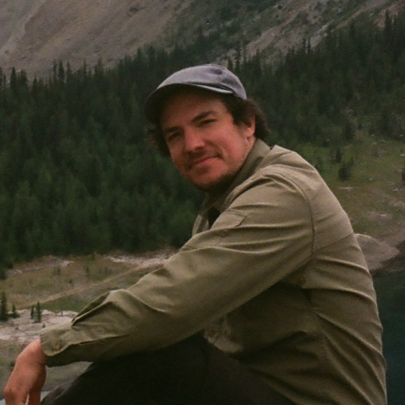
Your host
Mitch Rawlyk, MSc.
Founder, LandScope
Mitch hosts both sessions himself and answers questions live.
He holds two degrees in physical geography, a BSc. in Earth System Science and an MSc. in Applied Meteorology, along with a professional certificate in applied data science from MIT.
He has taught geography, GIS, mapping, and climate labs, as well as the mapping and climate sections of permaculture design courses.
He started LandScope to make terrain, water, and climate information faster to reach and easier to act on, and has used it to plan his own land in Central Alberta.
Use your own site to find the terrain and drainage insights that should influence your next land decision.
Pick whichever session suits you. Both are recorded.